"Where geography meets technology"
This is
the process by which a collection of data is compiled and formatted into a
virtual image. The primary function of this technology is to produce
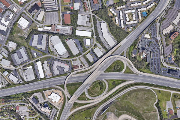
maps that give accurate representations of a particular area, detailing
major road arteries and other points of interest.
At Dudos
Engineering, we recognize the importance of accurate spatial data for informed
decision-making. Our mapping & digitalization services provide
comprehensive solutions for capturing, processing, and analyzing spatial data.
Our team
use latest software and technologies to provide accurate mapping and
digitalization service within the minimum time period.
Dudos Engineering Mapping Services includes:
1. GPS
Mapping: Accurate
location data collection using GPS technology.
2. GIS
Mapping: Spatial
data analysis and visualization using Geographic Information Systems.
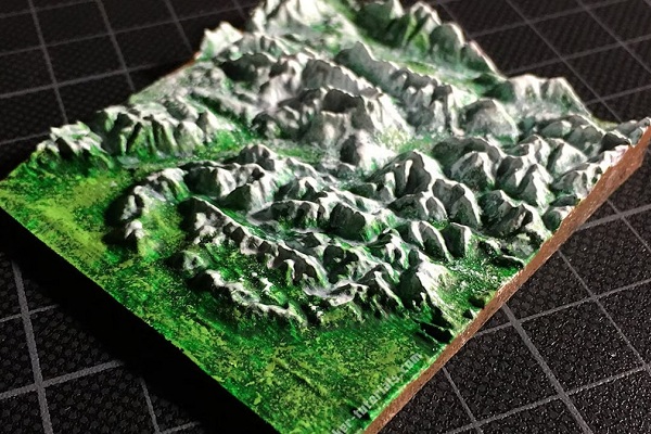
3. 3D
Modelling: Detailed
three-dimensional models for urban planning and infrastructure development.
4. Engineering
Design and Drafting: These
drawings are used by engineers, architects, electricians, and construction
experts to communicate design concepts and intent.
Dudos Engineering Digitalization Services includes:
1. Digital
Twin Creation: Virtual
replicas of physical assets for real-time monitoring and simulation
2. Asset
Digitalization: Digital
representation of physical assets for improved management
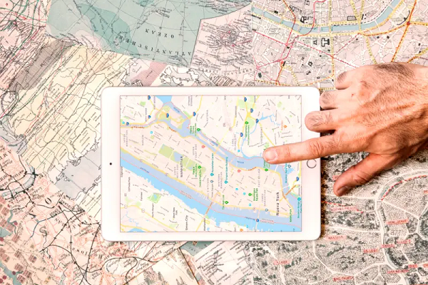
3. Map
digitalization: Map
digitization is the process of converting geographical features on a map
into a digital format.
Industries that need Mapping & Digitalization services are:
1. Construction: site planning, monitoring,
and management
2. Infrastructure: road network planning,
maintenance, and management
3. Urban
Planning: city
planning, zoning, and development
4. Environmental
Monitoring: climate
change, deforestation, and pollution tracking
5. Natural
Resource Management: resource
exploration, extraction, and management
6. Transportation: route planning, traffic
management, and logistics


